2025–2028
Cooler streets
Mapping how trees, shade and water lower street temperatures in summer, block by block, with sensors placed by residents.
- Lead:
- Prof. James Walker
- College:
- College of Humanities and Social Sciences
- Period:
- 2025–2028
- Status:
- Ongoing
(01) The project
The story so far
On a hot afternoon in July, two streets a few hundred feet apart can differ by several degrees. The difference is often shade, pavement color, water use, street width, and orientation.
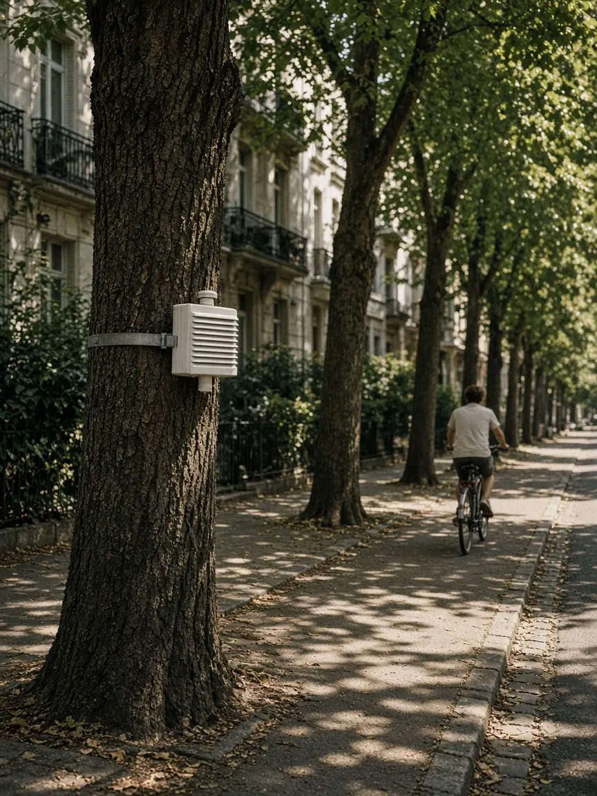
Cooler Streets measures that difference block by block in downtown St. George and the Dixie area. Residents host temperature sensors on porches, light poles, and storefronts, and the team maps readings every ten minutes through three summers.
The goal is practical: a planting and shading plan that local partners can use, street by street. Students study desert heat, drought-tolerant shade trees, water conservation, and surface temperatures near Pioneer Park and Downtown St. George.
(Partners)
- Southern Utah community planning partners (fictional)
- St. George neighborhood volunteers (fictional)
- Desert water conservation lab (fictional)